

Geographic Information System (GIS)
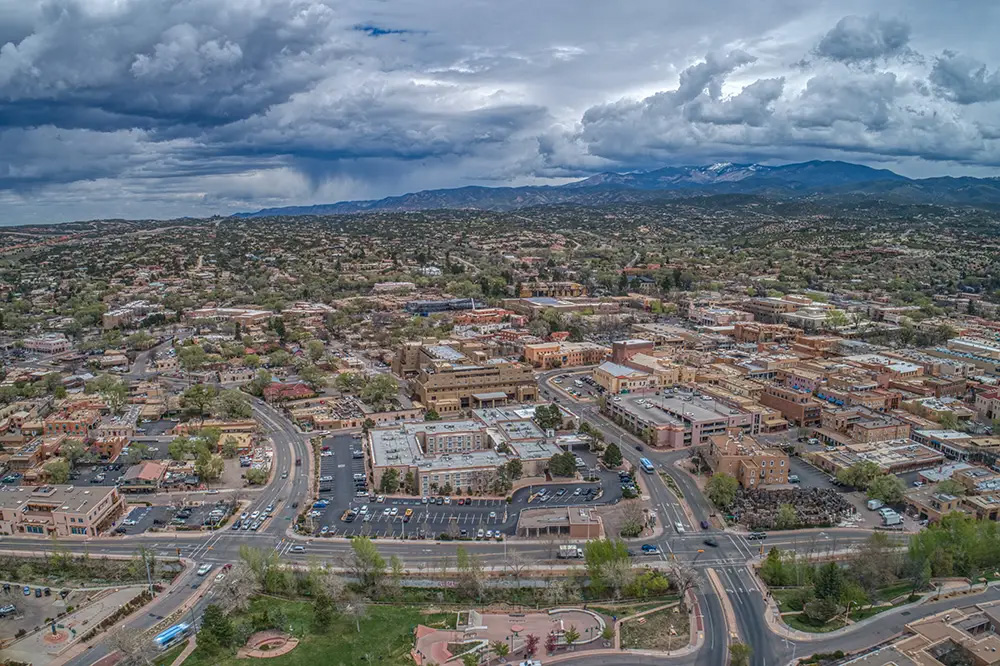
GIS and Location-Based Routing
GIS data is a critical component of New Mexico's NG911 system.
911 location data is used to support emergency call routing and help determine the appropriate PSAP for a 911 request.
New Mexico's statewide 911 GIS environment brings together locally maintained addressing and geographic information for use in the NG911 system.
Because routing 911 phone calls depends on accurate geographic information, maintaining current and accurate GIS data is an ongoing responsibility shared by local addressing authorities, GIS providers, 911 staff, and the NM 911 Bureau.
The NM 911 GIS Program
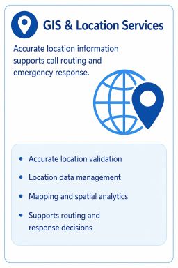
The NM 911 GIS Program supports the statewide geographic data required for New Mexico's NG911 environment.
The program works with local data authorities and GIS providers to establish, maintain and process geographic information in accordance with applicable NG911 requirements and data standards.
Local data is submitted to the NM 911 Bureau, reviewed and processed into the statewide NM 911 GIS environment, and prepared for use by the NG911 system.
The statewide GIS environment includes geographic information such as:
- Address points
- Road centerlines
- Emergency service boundaries (e.g., fire districts, police beats, etc.)
- PSAP boundaries
- Jurisdictional boundaries
- Other location and routing information required to support NG911
Local GIS Responsibilities, Addressing, and 911 Boundaries
Local governments and their designated GIS or addressing authorities play an essential role in maintaining the accuracy of 911 location data.
NM911 GIS Data Standards & GIS Data Submission
NM911 maintains statewide GIS requirements and data standards to support consistent processing and use of location information within the NG911 environment.
NM GIS ESRI Hub
New Mexico 911 GIS Web Portal